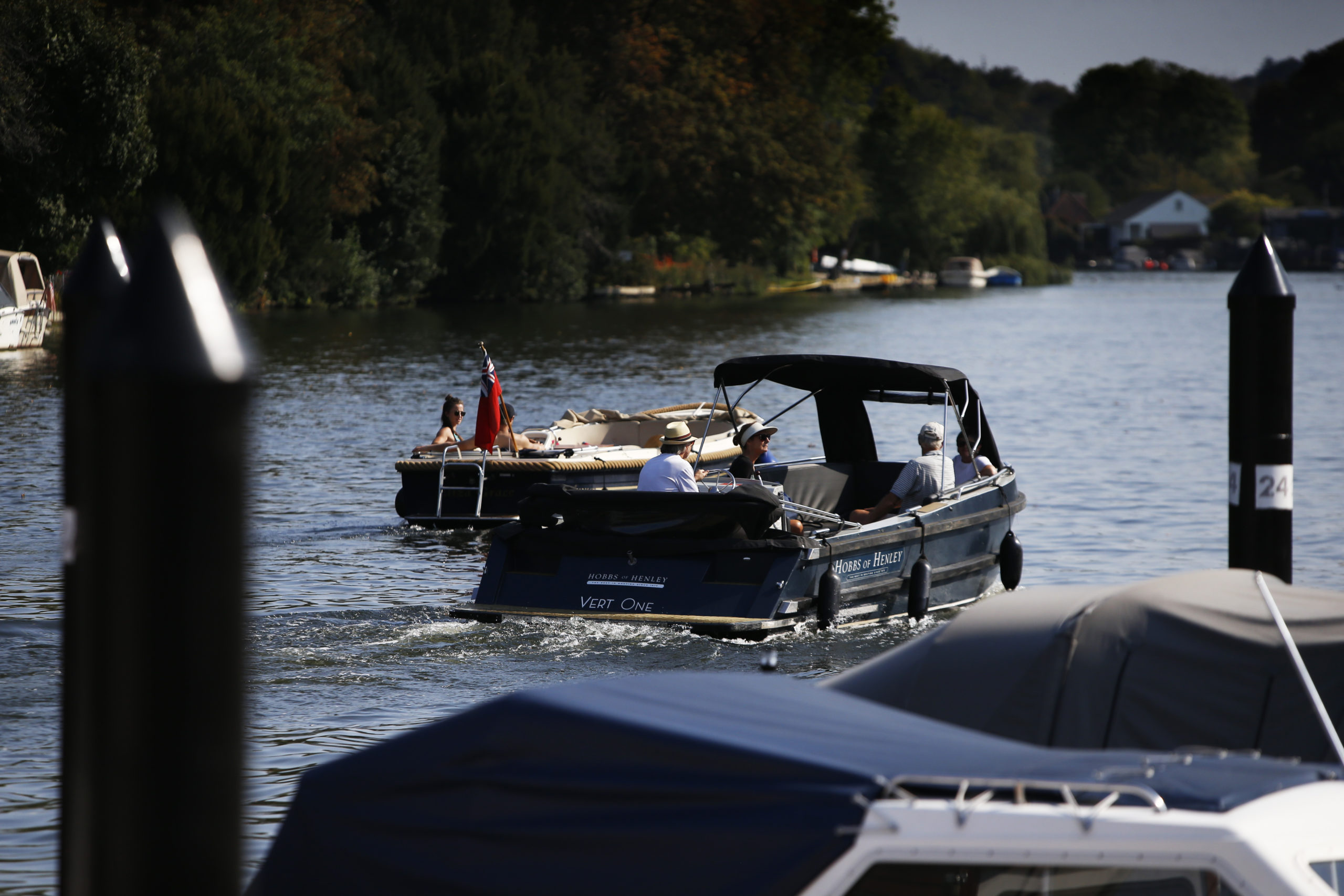
Rivers and waterways
“Despite covering less than one per cent of the Earth’s surface, freshwater ecosystems (rivers, streams etc) provide a habitat for more than 100,000 known wildlife species – but many are struggling to cope due to habitat degradation.” The Rivers Trust
Rivers are a precious source of fresh water for both people and wildlife. Rivers are a vital ecosystem for many animals and plants, and they play an important part in the water cycle – the path that all water follows as it moves around our planet.
Thames Champion
Since 2020, we have had a special councillor role of Thames Champion to focus on the river when it comes to council policy and to work with partners to enhance access and water quality. The role is currently held by Cllr Jo Robb.
Bathing Water Status (Wallingford)
Designated bathing water sites are sites popular for activities such as swimming, canoeing and paddleboarding and are designated by the Department for Environment, Food and Rural Affairs (Defra), following an application process and national consultation.
Wallingford Beach on the River Thames was granted Bathing Water status in May 2024. This means that during the bathing season (15 May to 30 September) the Environment Agency will be required to carry out weekly water quality testing and publicise the results.
The water is tested for two types of bacteria, E. coli and intestinal Enterococci. Bathing Waters are categorised as ‘excellent’, ‘good’, ‘sufficient’ or ‘poor’ on the basis of the bacteria levels.
The designated bathing area in Wallingford is immediately south of the Wallingford Bridge.

Signs at the site give people access to the weekly water quality data via the Environment Agency’s Bathing Water Profile for Wallingford Beach, allowing river users to make informed decisions about using the river and any potential risks.
The Environment Agency will also investigate any pollution incidents.
River Catchment partnerships
A ‘catchment’ is an area of land where water collects when it rains, often surrounded by hills. As the water flows over the landscape, it finds its way into streams and down into the soil, eventually feeding into a river or waterway.
There are approximately 100 river catchments across England and Wales. Each one has a partnership working towards ending pollution in the river and promoting its use and enjoyment in a sustainable way.
These catchment partnerships comprise local organisations and groups, including water companies, businesses and local authorities, working together to protect our precious water environments and the benefits they bring.
We work with the following catchment partnerships to help end river pollution and promote the sustainable use and enjoyment of the River Thames.
- South Chilterns
- River Ock
- River Thame (a tributary of the Thames)
Information on sewage discharge and overflows into our rivers
When using rivers it’s important to know that at times, especially after heavy rain, water companies discharge untreated sewage into rivers and waterways. Thames Water’s storm discharge map shows near real-time storm discharge activity. You can use the map to see if overflows are currently discharging into a watercourse or the date and time of the last recorded discharge, to help you make a decision about using the river.
More information from Thames Water on River Health is available here
Using the rivers - what you need to know
There are many ways to enjoy waterways, from a riverside walk to boating, canoeing, kayaking and paddle boarding, all of which can bring health and wellbeing benefits. You can find safety advice and information on licences you may need from organisations such as The Rivers Trust and The Canal & River Trust .
For more information on staying safe when going for a swim in a local river or other wild swimming area, visit our water safety page
Wild Swimming and The Outdoor Swimming Society can also provide advice on swimming outdoors.
The new Oxford Rivers Portal website gives an up-to-date water quality check on the River Thames and its tributaries in Oxfordshire.
It has been developed by environmental charities the Rivers Trust and Thames21 and research institute the UK Centre for Ecology & Hydrology (UKCEH).
On a single map, it brings together live raw sewage spill alerts, water quality measurements taken by the Environment Agency and citizen scientists, water levels, flood warnings, bacteria measurements at bathing water sites and sewage treatment rates* at both Oxfordshire’s designated bathing waters, Port Meadow in Oxford and Wallingford Beach. Users can zoom in and click on any of more than 2,000 locations to find out real-time information or data from the past three years.

